The Batang Kayan.

gn. gading from river

Looking from the old Ferry Point towards Gunung Gading and the sea. The District Office shows in the center.
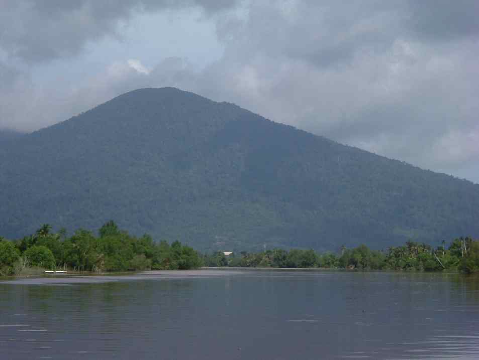
If you stand at any point on a river's course, the area downriver of you is called ili’, and the area upriver from you is called ulu. These are two important direction-words in Sarawak, for even in the present much travel has to be done by boat. We are looking towards the ili’.

bt kayan bridge

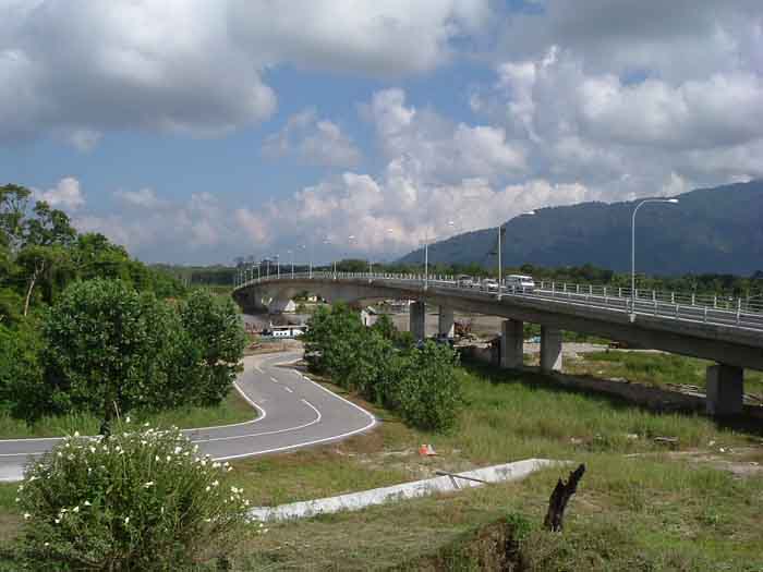
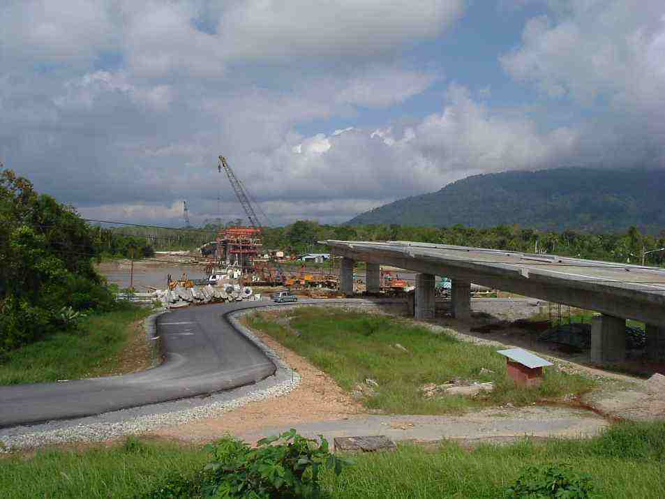
The bridge, a few days after its completion and opening, photographed from the hill on which Christ Church, Stunggang sits.


ferry


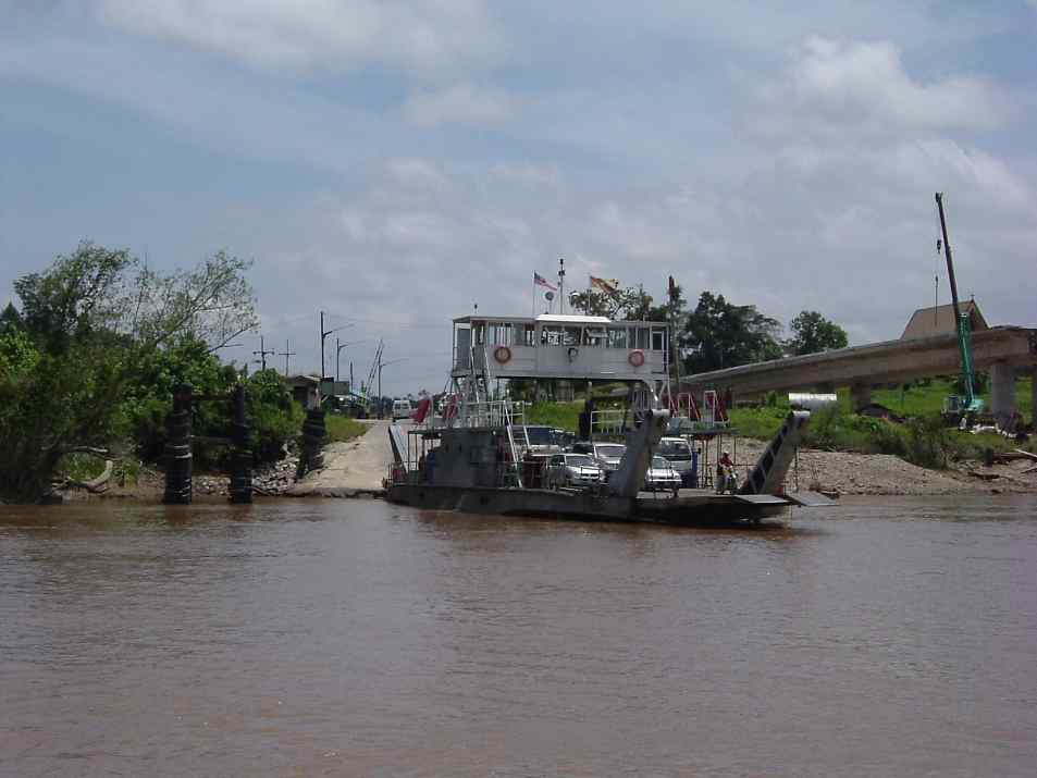
View of the ferry landing from the Lundu side of the river. The bridge remained under construction.  The Batang Kayan is a tidal river, and the distance between high and low water during new moons can be twelve feet, or more in monsoon season.  No more ferries now.


bridge under construction


The Batang Kayan bridge had been planned for many years. In 1996 the government announced that a design was ready and a few years later work began. Here is the bridge so far in its construction as it appears from the Kuching side of the river, photographed in February 2004.


stunggang


We have gone to the ulu of the ferry point about half a mile and are facing Kampong Stunggang Dayak. The houses are hidden by the trees. Signs of habitation here are coconut palms and the boat moored at the bank. Coconut palms do not plant themselves. They are like apple trees in New England. If you see coconut trees, you know that someone lives there, or used to live there.

Kpg. Stunggang belongs to the Sebuyau Iban people. Baki Resol's (my wife Nusi's father) house is behind here. In 1839 James Brooke, not yet rajah, first spent a night in the longhouse that existed on this same site. The Sebuyau switched to living in separate houses after WW II. 

BACK
HOME
NEXT PAGE